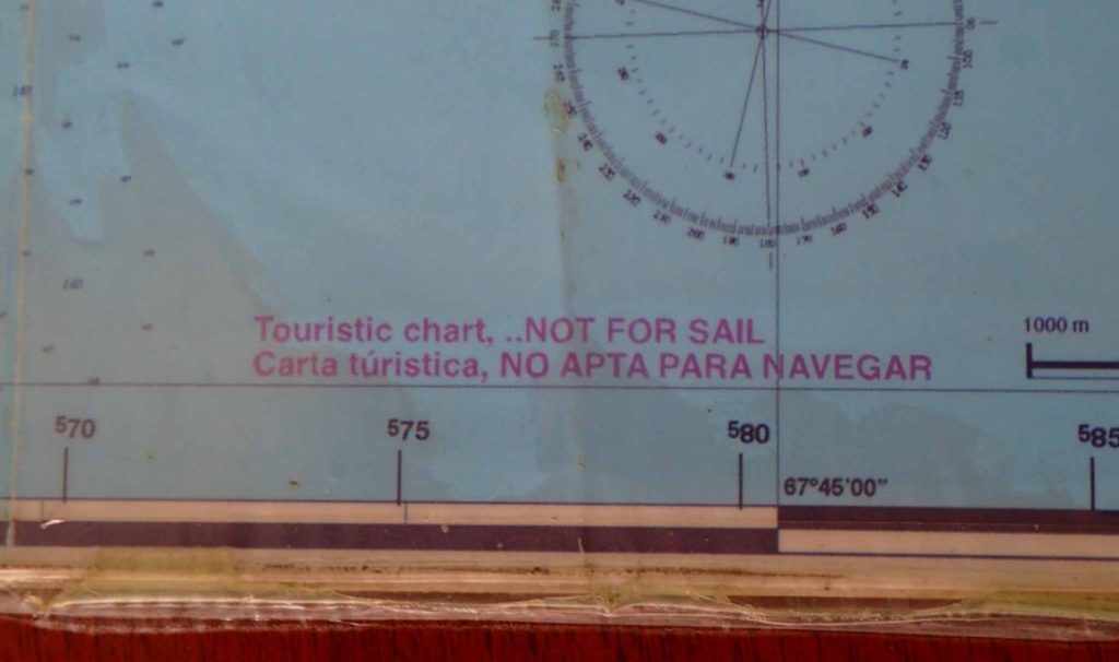
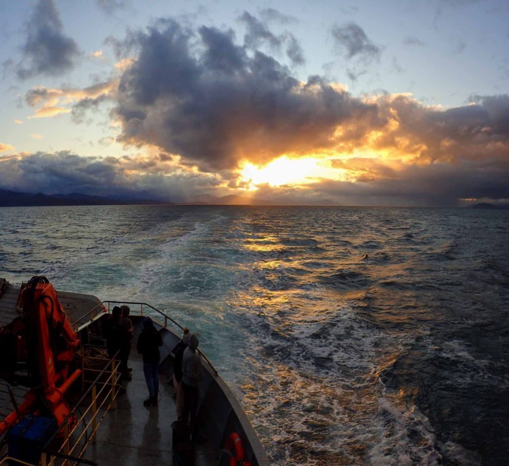
(Originally published here)
Party: Mum, Dad, Sis and I
Dividing the island [of Isla Navarino] in two unequal halves, the craggy Cordón de los Dientes (with peaks rising over 1000m), shelters the narrow northern coast from the southerly storms. The larger southern half of [the island] is a roadless expanse of subarctic tundra with hundreds of mooreland ponds and the large lakes of Windhond and Navarino.
Located in the Chilean region of Magellan, this trek (or ‘Patrimonial Route’) is considered the southernmost in the world. South of Tierra del Fuego it sits on the other side of the Beagle Channel, north of the Wollaston and Cape Horn Islands. The walk circumambulates the mountains known as Los Dientes de Navarino or The Teeth of Navarino which bless the island with its unique geography. The lower mountains are blanketed with Magellan forests and in the south extensive peat bogs nurture the existence of numerous ponds and lakes, hosting one of the world’s richest floras of mosses, liverworts and lichens.
Contents:
- Day 1, 29th February : Ushuaia to Laguna del Salto
- Day 2, 1st March : Laguna del Salto to Refugio Charles (Lago Windhond)
- Day 3, 2nd March : Refugio Charles (Lago Windhond) to Cruz de LW y DN
- Day 4, 3rd March : Cruz de LW y DN to Paso Guerrico
- Day 5, 4th March : Paso Guerrico to Laguna de los Guanacos
- Day 6, 5th March : Laguna de los Guanacos to the Airport
- Day 7, 6th March : Jimmy Flies!
- Postlude
Prelude:
After trekking Vuelta al Huemul in El Chaltén and visiting the Perito Moreno glacier near Calafate we continued south to Puerto Natales (back into Chile), and caught another bus an hour later, all the way to Punta Arenas. Getting off near the university, Mum and Nam went to visit the ferry terminal to see if we could purchase tickets for the service to Puerto Williams. I’d read that the tickets are open to foreigners only 24hrs before the boat leaves: The office was closed, but after a night under a pine tree we returned (mum and I this time) to find that there were no places available! And what was more annoying: there seemed no problem purchasing tickets in advance! (I found out later you could reserve online too!). Oh well. We went back to our tree to discuss options: wait 5 days, fly, go to Torrés de Paine instead or go via land to Ushuaia and ferry across from there. It was basically up to Dad as he was the one who had to fly in 10 days. The boat trip meant less to him than I thought; we quickly decided to catch a colectivo into town to explore options for ‘busing it’ to Ushuaia. The friendly driver gave us some info on the city and dropped us off right outside the Pacheco terminal. The lady inside was likewise very friendly and helpful and we quickly found out that the only bus for the day had left… And there were none the following day. Even with Bus-Sur. There might be a service with another company, but try as we might it didn’t seem to exist. As a last hope we went to Bus-Sur to double check. There actually was a bus the following day. It was even a little cheaper. We booked tickets for the morning. It was a 12hr trip, with a transfer to a smaller bus in Río Grande. Sis and Jimmy went and stocked up on food for the next week returning with a little more than what they had set out for – a lady who was in charge of returning the trollies was quite displeased that dad and Nam had ‘stolen’ one and followed them all the way back to the bus terminal to retrieve it. We lazed in the terminal for the afternoon. When it got dark rather than return to our tree, we searched along the canal for a closer place to spend the night. After getting bitten by a dog, one by one we climbed down under a bridge to spend the (smelly) night.
We rose early, the day just beginning to brighten, helped each other up the wall and headed back to the terminal. 8 to 8 we’d be in transit. Let the boredom begin. The terrain was very bland. There were guanacos and ñandu, but after that excitement died, very little to look at. The main excitement for the day was crossing the Magellan Straight to Tierra del Fuego. I seized the opportunity to have a hot shower. However, seeing as it was somewhat unexpected, we’d all left our packs on the bus so I had to settle for some kind of bleach cleaner tipped into an aluminum can as a substitute to soap. When I emerged, I located the others top side. Apparently dolphins and penguins had been spotted, but I saw neither for the remainder of the trip.
We continued south soon entering Argentina. Now the name of the island : Tierra del Fuego (land of fire), has its origins in the visions first sailors had and was named by Hernando de Magallanes. From the sea they were able to see constant and amazing bonfires used by the Selk’nam (or Onas) and Yámanas in order to protect themselves from the cold, who, in spite of the weather, oddly did not wear much clothing! They even carried fires inside their canoes of lenga which were used for fishing and hunting marine mammals. The native people called the island Karukinka which means ‘our land’.More than 4000 natives occupied the northern area and southern forests of Tierra del Fuego. They hunted guanacos and birds, living in circle shaped huts made from trunks, branches and leather. Appearance wise, they had tall, well-built frames and were much more aggressive than other indigenous peoples. Even so, (despite aid from Salesian missionaries) they were displaced and made extinct by settlers exploiting gold mines and breeding sheep.
We stopped briefly in Tolhuin. The bakery seemed the central hub and doubled as the bus station. Though this may be speculation in my part seeing as we really didn’t have time to explore. We grabbed some milk and continued south soon paralleling Lago Khami (Fagnano). The landscape was getting more interesting by this time. Vegetation and sporadic stands of trees turned into forests, the planer landscape becoming more mountainous. Then we began the climb up to Paso Garibaldi where everyone began craning their necks for the views down on Lago Escondido. Then we were through. Following the Lasifahaj and then Olivia into the city of Ushuaia; apparently the southernmost in the world. It was getting late, so after getting things sorted at the bus station (and grabbing some hot water) we headed out to a spot next to the military area where we apparently could camp for free. In the dark we found a couple of mostly flat spots to accommodate our tents.
“Among the scenes that are deeply impressed on my mind, none exceed in sublimity the primeval forests undefaced by the hand of man; whether those of Brazil, where the powers of Life are predominant, or those of Tierra del Fuego where Death and Decay prevail. Both are temples filled with the varied production of the God of Nature: no one can stand in these solitudes unmoved, and not feel that there is more in man than the mere breath in his body.”
Charles Darwin
Walking back into town the next morning we quickly found all the small tourist offices nearby the dock. There seemed four companies offering services to Puerto Williams. All involved a fast crossing of the channel followed by a longer minibus trip into the town. All were expensive. They didn’t seem to want their tourists defecting to Chile.
Ushuaia Boating – $120USD
Seaboat Navigation – closed?
Onashaga Expeditions – $100USD Efectivo, $120USD tarjeta.
Hielos Antarticos – $100USD con tarjeta (especial), normalmente $120USD
We shopped around investigating our three options. There wasn’t much choice. Nothing for the day as we didn’t have enough time to process the paperwork… Why do they all leave at the same time?Originally we were going to go with what seemed like the smallest company: Ushuaia Boating, but as we were about to pay cash for three people, the original quoted price of $85USD suddenly jumped up to $120! Apparently she hadn’t realised we were foreigners. It seemed unlikely. A little annoyed, we kept the complimentary hot chocolate coupon and left to book with the other companies. Helios Antarticos seemed next best, allowing us to pay by card, but they could only offer us two spaces before putting on a second boat, entailing an increased price. In the end we paid for two and returned to Onashaga to pay cash for the last two tickets. The lady was very friendly and seemed very well educated. We learnt about the stickers we’d seen plastered about, apparently some people want to introduce trout into the channel. She was learning how to sail; learning here would allow her to sail pretty much anywhere (due to the extremely strong and challenging winds in the area).
With things sorted for the following morning, we took refuge in the information centre, booking all dad’s return flights. From Puerto Williams, DAP seemed to be the only real choice. The 7th was booked out. I later found out it was a smaller plane, more likely to be cancelled in poor weather (this actually happened! So it was actually lucky it was full!). We booked a ticket for the 6th to Punta Arenas, and then another from there to Santiago on the 7th (it’s recommended to have time in between flights. Poor weather often cancels flights).We also reserved seats on the Austral Broom. It was quickly accepted.
Everything booked, we headed outside to feast. We were all famished. Somehow a small situation with my sister not giving me the chocolate coupon exploded when I tried to get them back from her. There was much animosity for the following week.We returned to the same spot for the night, planning for the trip ahead and spreading out the food that we had. We would try to buy some noodles and chocolate in the morning. Then cheese and scroggin once we got into Chile – to avoid any potential problems at the border.
Day 1, 29th February : Ushuaia to Laguna del Salto
We rose to a relatively calm morning. If I remember right, there’d been a bit of rain during the night. Returning to the info centre, we paid for our ferry tickets (in a weeks time), dad grabbed a bit of food and we waited around in the terminal while our passports were processed and the boats made ready. The boats the day before we arrived had been cancelled, looking out across the glassy water it seemed things couldn’t be calmer.
We boarded our boats, Mum and I with Hielos Antarticos, Dad and Sis with Onashaga Expeditions. Mum and I had the faster crossing, but the others got to enjoy it a little more, taking the extra time for a bit of sightseeing and were also allowed to exit the boat whilst crossing, whilst we had to remain within the confines of the cabin. We saw a seal and many birds crowding some of the numerous islands.

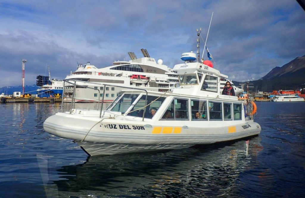
On the other side of the Beagle Channel we filled out new forms on the Corona Virus as well as handing in the now familiar immigration sheet. It took quite a while before we moved off, we feasted on the nearby gooseberry bush.
The driver was quite nice, the left hand side of the bus offering the superior views. Unfortunately I got stuck next to a strange woman who seemed irritated at every little thing that happened. Trying to escape, I squeezed into the luggage seat one seat behind, but even there she found things to complain about.
Around 55km later, we pulled up in front of the immigration building. We unpacked and waited for our passports to emerge from the building. A man soon appeared with them and reading out the names one by one they were collected. They didn’t search a single bag. We could have brought in that nice cheese from Ushuaia after-all!
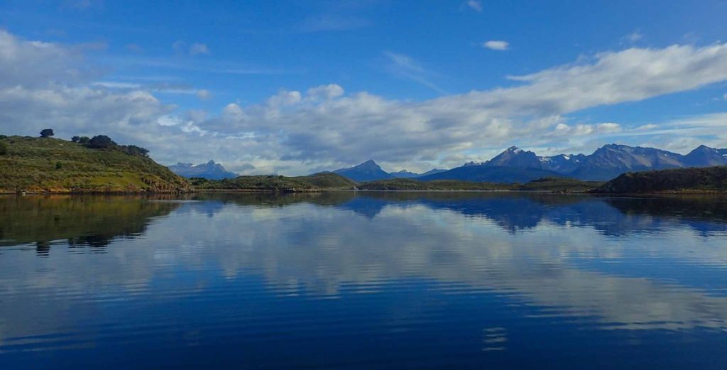

Considered the southernmost town in the world, the ~2500 inhabitants of Puerto Williams are a blend of founding settlers and Chilean Navy. Long before this however, the nomadic Yagán roamed the islands and surrounding fjords in coigüe bark canoes. The island boasts more than 500 archaeological sites in the form of shell middens, canoe landing sites and fishing corrals, some of which are over 8000 years old. The current town, founded in 1953 (due to gold mines on surrounding islands? Or as a base of the Chilean Navy? I’ve read both), was renamed three years later to honour the Irish mariner Juan Williams who is registered as having sovereignty. Now the port is a strategic location between the Pacific and Atlantic oceans, playing a key role in Chilean politics. Recently it has opening up to tourists who have come to enjoy its flora and fauna.
I headed off to buy some cheese (2.5kg) and scroggin (1kg), both not quite what we wanted but I hoped it would do. By the time I got back, the others were clear, and we had confirmation we could cache gear with the sister ferry company across the road. We repacked and left a couple of bags before heading out of town towards the trailhead. Jimmy was carrying my drybag – we’d cache it somewhere in the woods close to the airport just in case we got back from the walk a little later than expected. We had a day less than I would have liked but it should still be manageable. The best case scenario was that we make it to Laguna del Salto tonight and push on all the way to Lago Windhond the following day. Then we’d have plenty of time and could take it easier.Reaching the park, Dad and I headed off to the airport junction to cache his bag. We found a good spot under a log by a large stump. Camouflaging it with some bits of bark, we marked the nearby road and headed off turning back several times to memorise the location.
We followed the road up through canelo and coigüe scrub following Río Róbalo up to the end of the road where a small dyke dams the river. It had started drizzling by this point and we collected under the new CONAF building (it looks like they might start charging soon 🙁 ) and tossed up camping here for the night. Spurred on by mum, we continued up. It made sense; we were already a little shorter on time than we would have liked and there was the option to camp up in the alpine after the bandera if we didn’t want to push on to lago.
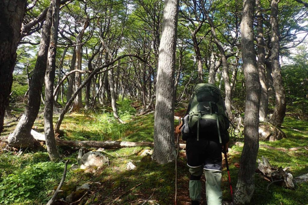
The subarctic landscape of Magallanes stands out for possessing the world’s southernmost forests dominated by the Magellanic coigüe (Nothofagus betuloides, of Gondwanic origin) and Winters bark (Drimys winter, of tropical origin).We passed many walkers heading down from the bandera which is a popular day hike. The track was well maintained and climbed slowly upwards. At one point some well utilised fallen trees created an interesting staircase and elevated catwalk.A mirador offered good views over the village, and Argentinian mountains on the other side of the channel.The Beagle Channel is a 280km arm of the Pacific ocean that was originally navigated by Yámanas in canoe but recieved is name in honour of the ship Beagle which sailed between 1826 and 1830 doing hydrographic surveys under the command of Philip Parker King and on a second journey by Robert Fitz Roy (the second trip included the renowned English naturalist Charles Darwin).
The track turned to follow the ridge up and we suddenly emerged into low wind battered beech with more great views over the channel. Not much further up was the flag we’d seen from the town below when we got our entrance stamps. The peak (Cerro Bandera o ”flag peak”) gets its name from the large corrugated iron Chilean flag that was erected here in the early 1980s during a tense military conflict with Argentina (the Chilean-Argentinian wars).We paused at another lookout before continuing along the flat, open and stony ridge top. There were some great mounds of azorella, though there were no flowers present on them.

Continuing gradually up, there was a small stream to the left and then another we had to cross before the track began a scenic undulating traverse just above the treeline. Camping was possible, but it was quite exposed and we decided to push on to Lago del Salto.There were many lakes down in Valle Róbalo but our destination was hidden for quite some time. Mum and Sis missed one of the track markers and ended up down in the scrub.Jimmy and I waited for them to regain the track before we continued contouring along the side of the valley. Scattered tents around the lake soon came into sight. I was surprised how busy it was!
Dropping down the eroded trail in the coarse talus, a newly constructed mirador was a bit of an eyesore on the otherwise amazing vista – another sign CONAF was moving in. I found a couple of suitable, though far from ideal, sites by the lake and set about erecting my tent as the mist rolled in and out of the now mostly dark valley. I cooked up a pot of couscous mush and we quickly retired for the night.
Day 2, 1st March : Laguna del Salto to Refugio Charles (Lago Windhond)
We woke early with a long day ahead of us. After walking to admire the views from the unsightly lookout I quickly returned to save the others tent from being blown away.We then continued to the other side of the lake climbing up beside the salto the lake gets its name from. Reaching a flat area, we passed a couple who had camped up here in solitude. I waved to them as I passed, but we’d actually run into them again in the future. Another steeper section led to a second flat area with good views almost everywhere you looked. From here we swung left to Paso Australia. There wasn’t anything remarkable about the pass and I have no idea where the name came from. I was going to ask in town, but forgot.Taking a moment to gaze over Laguna del Paso, we slid down a patch of persistent snow and scrambled around to the nearby Paso de los Dientes. The views were spectacular. Bare craggy mountains nesting a tarn amidst the scree. In the distance more lakes, and, as Nam was happy to see, vegetated spongy lowlands falling away to Lago Windhond, the ocean, and even further afield the hazy Cape Horn Islands.


Soon we dropped down, the towering Picacho rising to our left, apparently the highest ‘tooth’ of them all, though the maps I checked awarded it differing altitudes. Down around Laguna del Picacho (and yet others!) to reach the large signposted cairn and junction. A number of people were there snacking, and consulting maps. I searched around for a suitable place to camp or cache some gear. Most people will head right at the junction, continuing the Los Dientes circuit, we were planning to tag on the two day side trip to Lago Windhond. Happy to leave the crowds behind, we passed an Australian girl just down from the junction – she’d gone the wrong way. We’d seen a couple of times already and we chatted a bit more as she lunched on her ‘flying carpet’.Soon after, next to some large boulders, we found a suitable place to camp (for when we got back), complete with old fire rings. It took a while to sort out gear, but eventually we had a large bag of food which I suspended from the top of one of the more convenient boulders, whilst the less tasty things were hidden in a small talus cave.That done, we dropped down to pass lakes lined with pale rocks and gnarled wood. Many of the trees had beaver chew marks, and around the circumference of all the lakes was a ring of dead wood, white like bone.
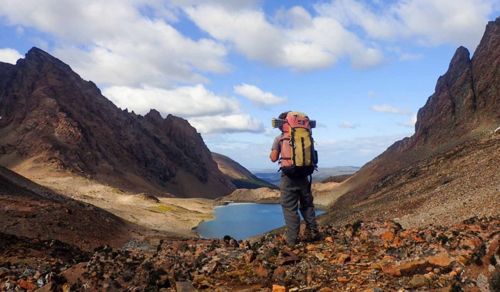


Heading up up now, towards Bettinelli, we continued up through the forest before Mum and Sis got a little separated after taking a wrong turn in the denser shrubs protecting a clearing with a interesting channels running to a small pond enhanced by beavers. A large den looked abandoned. Thus far we’d seen no signs of recent activity. It seemed a little odd, as the demise of the trappers with the decrease in fur prices logically meant there should be more beavers about. Maybe it’s the beaver pizzas I later heard about?
We soon were in open country above the tree line. The mountain was almost purely scree, and we headed almost straight up to the summit. It was a little windy, but the views were great. ‘So many lakes’, I believe was the prevailing thought. The geology was interesting. The valley we had come from and the Ukika valley both were presumably glacier carved. But we’d now be dropping down to the stepped valley holding Laguna Bettinelli. Situated between the two it possessed the classic U-shape cross section but the the sides that gave way to the two adjacent valleys were quite steep. Not really sure what to make of its formation, we moved in passing some really cool, really long lichen(liverwort?) growing on the rocks. We scrambled down beside then to a saddle and glissaded down the the final part of the slope to a long pond. A quick drink and we dropped down to the elongated Laguna Bettinelli. There were some nice spots to camp along its shore, though very little for protection if the wind were to whip up. Crossing the exit stream, we followed a straight line of cairns to the distinct line of forest ahead. As we arrived I heard voices. There was no mistaking it. To my surprise a couple soon emerged. They warned us to be careful on the steep muddy descent to the river and that it’d take us about 3hrs to get to the refugio where we’d meet a group of jovens who had decided decided to spend a second night.Reality pretty much mirrored their words and after a fairly gradual descent down the ridge, we dropped down steeply to the river admiring the large variety of mushrooms enjoying the damp environment. Whilst there was a surplus of mud ‘at foot’ there was no drinking water until we were crossing the river via one of those well placed fallen trees that often seem to crop up.Paralleling the river, we followed it downstream, negotiating several more boggy sections and even a beaver dam. Then we emerged into a large open area. It proved to be a large elevated peat bog. What made it really interesting were the firm patches of azorella(?) that provided stepping ‘stones’ to avoid the interconnected pools. Sometimes these seemed quite ordinary earthen basins, but just as common they were filled with an enthusiastic some often giving it a dull red colour. Slowly we picked our way across, at first putting much effort into planning a route with the least ‘cost’ (at one point my brain seemed to carry out a kind of A* analysis), but as it turned out it didn’t really matter as our stepping stones were actually quite solid irrespective of size. It also turned out that the seemingly shallow pools were much deeper than they looked. Nam happened to slip into one and sunk up to her knees before griping the edge to stop herself sinking in further; and almost needed help to get out of the muck.Eventually we reached the far side and jumping a couple of deep arroyos we had a short walk to the refugio were we found a pleasant fire cooking some trucha (trout) they’d caught from the river (Apparently another guy had gone further to fish in the ocean). They were very friendly and were good to talk with. They were sleeping in cabin tonight, presumably so their gear would be dry in the morning. The cabin was quite large and Mum, Dad and Sis easily fit in. I decided to set up my tent giving me a little freedom on when I wanted to go to sleep… But this kind of backfired as the other couple we’d passed in the morning (I’d actually seen them on the summit behind us) turned up and set their tent up right by my pack. Which wouldn’t have been an issue if they hadn’t kept talking well past midnight until I asked if they could please let me sleep! They kept very much to themselves for the most part and we spent most of our time talking with the Chileans. I learnt that we were now in in the Magellan Region, and coincidentally noted the magalenic clouds clearly visible above us. One guy, nicknamed something along the lines of ‘Wikipedia’ had an staggering about of knowledge on history, geography, politics; pretty much everything you talked about; the Maltese Cross, what year ‘this guy did that’ and even about the random church in northern India dad had visited where they worshipped rats. Eventually I retired for the night.


Day 3, 2nd March : Refugio Charles (Lago Windhond) to Cruz de LW y DN
In the morning we said farewell to the Chileans and headed off on the short walk to the shore of Lago Windhond. We sat there for a while watching ducks drift about, tried to make out how many islands were in the lake; that sort of thing. Growing restless we retraced our steps, packed, ate and headed back the way we’d come from. Mum led us across the peat and we managed to find a bunch more of those red berries Nam had initially by the river crossing the day before. The way up seemed a lot easier. Maybe it was a little drier? Whatever the reason, we made good time. We passed a group heading to the refuge above treeline, and had lunch (by dad’s order) in the open. We caught our Chilean friends lunching by the lake. We didn’t talk long before continuing up to the summit. The views were again great, though perhaps a little less clarity. The Cabo de Hornos (Cape Horn Islands) were still just visible to the south. Discovered by Dutch shipowners Shouten and Le Maire, when searching for a new route to the Pacific Ocean. Until the opening of the Panamá Canal on the 20th century it was one of the most difficult challenges sailors had to face going around the world… (what about the Magellan passage? Why didn’t they use that?).The wind and promise of camp coaxed us on. Dad zipped ahead and I soon followed. We waited at treeline, the wind much lessoned. The signs of beaver seemed much more prolific on the way back, maybe we’d just learnt what to look for.Our caches were uncompremised. We never did see the caches the other groups had hidden. Interestingly, the couple had told me they’d mistaken our hanging food bag as one they’d heard the cabarreros place around the mountains to use in emergencies.We set up our tents on the somewhat damp ground, cooked dinner behind the rock, but the wind made it rather unpleasant and we all quickly retired to our tents. In fact I believe mum never even left to eat dinner.


Day 4, 3rd March : Cruz de LW y DN to Paso Guerrico
It was a chilly morning and mum headed off long before the rest of us. Ice fell off my tent as i dismantled it, taking time to warm my fingers as I packed my bag. We headed back up to the cruz, up over a ridge and down to Laguna de los Dientes, the impressive Cerró Gabriel towering to one side. As we skirted ’round, we passed some nice camps, one occupied by a British guy we would pass twice more as the day progressed.The views were fabulous, and remained so as we walked up the small valley to the hidden Laguna Escondida. It was windy, but hungry, we ate on a small lookout platform, draping our rain flys and ground sheets over the railings to dry, flapping in the wind.


Spurred on, we passed more tarns as we headed up to the pass. The British guy materialised behind us apparently having taken a wrong turn and we passed him again at the final tarn before topping out on the windy Pasó Ventarron (696m). The uncountable Chevallay lakes and ponds stretched out before us bounded by the Montes Condrington on the far side (named after captain Fitz Roy after one of the crew on the HMS Beagle).Weariness was catching up to us but despite the vista, it was no place to rest so we pushed on accompanied by stellar views as we contoured high along the side of the valley. The British guy passed us again, but we met up shortly after as I found his pack cover and caught up with him to give it back.Just before Paso Guerrico, we found a relatively sheltered spot to spend the night. It was still early, but we’d made good time on the previous days so were in no rush. We figured camping early at a less established location would provide some privacy, as well as better wind protection than the more popular sites around Laguna Hermosa. After playing around with some dams, inspecting interesting holes and relocating the tent to a drier site nearby, we were surprised when lots of people suddenly arrived. Most were a commercial group, but they all seemed to have similar ideas and set up camp around us. This remote, uncrowded walk’s reputation appears to be turning it into the opposite!


Day 5, 4th March : Paso Guerrico to Laguna de los Guanacos
An early start saw us up and over the easy pass with great views over Lago Hermosa and the Lindenmayer range. I snapped a few photos on my internal memory but set a fast pace to recover my memory card from Mums phone. I caught her as the track dipped down to Laguna Matillo (hammer lake). We stuck more to the shoreline than the official trail which cuts across to the hammer section at some point. We rested at the ‘hammer’ waiting for the others to catch up, a narrow feeder stream in a deep slot allowing us to make a flavoured drink.
The next section is a little vague for me. We followed the Río Guérrico down for some time passing numerous adequate camp sites. Perhaps the most comfortable, best sheltered was at the bottom of a small downclimb just after Laguna Rocallosa.

From here we climbed up to a rocky knoll above Laguna Islote were we enjoyed “marvellous views back south to the rugged Montes Lindenmayer and Laguna Alta, a high hanging lake with an outlet cascading into the valle Guérrico.”
Mum had been taking to a couple of Americans and found it amusing when I commented on the easy day – right after they had complained about its difficulty. Perhaps this stemmed from the mud and the fact we had deviated from the official trail números times. Whatever the case, our rest was accompanied my several of their angry shouts as they headed up the side of the valley, one of which strangely sounded like a cow.When we resumed, I led us up a clearing before the marked trail. We had an easy time making it up to treeline with zero mud and cut back across to the track below a small bluff. Climbing steeply up we gazed Northwest (along the Beagle Channel) to Ushuaia and the Cordillera Darwin and then crossed a small stream before the final climb up to a barren sloping plateau. I thought about a side trip to the summit, but in the end, simply continued on to Paso Virginia, where the ground suddenly dropped down to Laguna los Guanacos. Mum was already a dot most of the way down the scree. Jimmy and Sis headed down with the Americans via a precipitous track. Lose rocks on a hard surface. I didn’t like the look of it. Whilst the others edged down, I contoured around eventually gaining the ridge. The remains of a hidden glacier surprised me as I surveyed the valley that had suddenly appeared. Having my fill, I scree skied down making very good time in the almost perfect rock pack. As I dropped down, I wondered why the route didn’t take the gradual ridgeline down? It seemed safer, would cause less erosion, would have better views… I guess there must be a reason. I waited a while by a small stream running into the lake, looking around for any guanacos. On Isla Navarino’ they are supposed to be “larger and heavier than those found on the mainland (or Fuegian). This appears to be the result of the absence of predators – even the Yagán people were predominantly seafaring nomads, less skilled at hunting agile land prey. Unfortunately, runaway dogs seem to be causing a rapid decline in their numbers.” This may be why we didn’t see any, but to be honest it didn’t seem like an overly accommodating location.


We found mum waiting at the lookout platform at the end of the lake. The couple of tents were already pitched, but the drizzle, grey skies and gusting wind weren’t inviting so we quickly decided to drop down a little where camp sites were marked just in the treeline. Dropping down beside the exit stream I quickly spied what looked like great sites. Crossing the arroyó on all fours, I dropped a log across for the others to cross, we scouted a bit but quickly found good sites near a well established fire ring, seats included!We were sitting around the newly lit fire when the British guy passed us (or maybe he passed before it was lit? He had seen a guided group with a fire and relayed that it must be legal to have a fogota). He set up nearby and came back to cook on the fire with us – a first for him. We talked the afternoon away, Dad particularly interested in the two years he’d spent in Lebanon. Nam too as she’d had an interesting time teaching the difficult Lebanese children in western Sydney.The commercial group also used the same spot, camping out of sight and didn’t accept the invitation to join us around the fire. They passed us a couple of times to get water as there were actually some beavers spotted below us.

Day 6, 5th March : Laguna de los Guanacos to the Airport
In the morning we followed Estero Virginia down, treading carefully to avoid many muddy sections. The new route seems to continue down beside the estero. We climbed back back up onto a small open ridge and snacked before continuing up and contouring to locate a lonely fancy information sign with a labelled picture of the vista before us.Continuing we had good views over the channel but soon entered the forest were we passed some cows, a tempered bull and more cows before finally reaching Cascada los Bronces were we planned to have lunch. A group of Israelis were lunching at the top so we continued down to the bottom of the sizeable waterfall. Now on our sixth day it was a small surprise to see such a developed track: handrails with rope, planks of wood, shored steps… The comforts were somewhat welcome.Dad and I got stuck with the Israelis as dad broached the topic of politics… Eventually we got away, the track strangely disappearing as we cut down to the road.Walked back along the road getting an extremely short ride just past the airport junction where Jimmy recovered his cached gear – at first a little confused by the sticks placed on the ‘wrong’ side of the dirt road.Mum and Sis got some water from the nearby hotel who seemed to really enjoy cleaning and we camped on the edge of a small clearing near the airport.
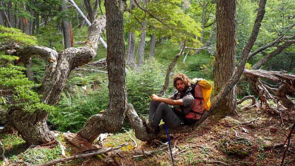


Day 7, 6th March : Jimmy Flies!
A pack of dogs chasing birds woke us early in the morning. Dad and I headed off to the empty airport. Clearly locals knew there was no need to arrive early. Still we had the bathrooms to ourselves so we could have a quick wash. Jimmy was very happy to give his feet a bath after several days of humid ‘swamp water’ which you could literally smell whilst walking behind him. For once, I think they were worse than mine!The others soon arrived and we still had the one room terminal to ourselves until people finally started drifting in in drips and drabs.
Finally the waiting room began filling. By the time the plane landed and the passengers disembarked it was packed and hard to move about.It thinned slowly ss luggage was collected and then the next fight was opened. Dad checked in, and before we knew it we bid him farewell. We were the only ones left in the room. Luck was with us and we were offered a lift into to town with the owner of a hostel owner. The hostel was already full, a common occurrence especially around the days when the Austral Broom ship was docked. We checked into the office to make sure our payment had gone through, and also to see if we could get vegetarian meals (unlike the last ferry, this one included meals).We spent most of the day resting in front of the information centre and then pitched camp by a river just out of town.

Postlude:
The wet weather eased and we headed back in to catch the boat back to Punta Arenas. The same one we had failed to catch to the island…
The weather was poor. It turns out the flights off the island got cancelled. Serendipitous then, that the flight was full when we tried to book a spot for Jimmy! forcing us to book a day earlier.
Mum and sis went to get some supplies for the 30+ hour trip. I was kindly kicked out of the building we’d been invited into but it wasn’t long before the others were back and we migrated to the café/waiting-room in front of the already docked boat.
After putting our backpacks in storage and checking off our names, we found our seats and settled in. Miss Anna perhaps a little too much, draping her wet rain fly over the chairs.The first thing I did was take a shower. I was notably smelly, even to myself. It was great.
