Party: Tim Vollmer, Tim Gastineau-Hills, Joshua Hill, Nigel Butler and Drew Morcom
The wind was howling up the canyon, blowing dirt, leaves and even small sticks into our faces as we looked down the main drop.
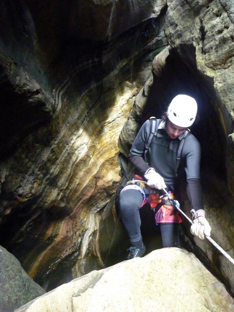
It isn’t difficult, but it does require you to land on a chock stone wedged above a waterfall before rigging a second rope for the final decent into the depths of the constriction, which certainly gets the adrenaline flowing.
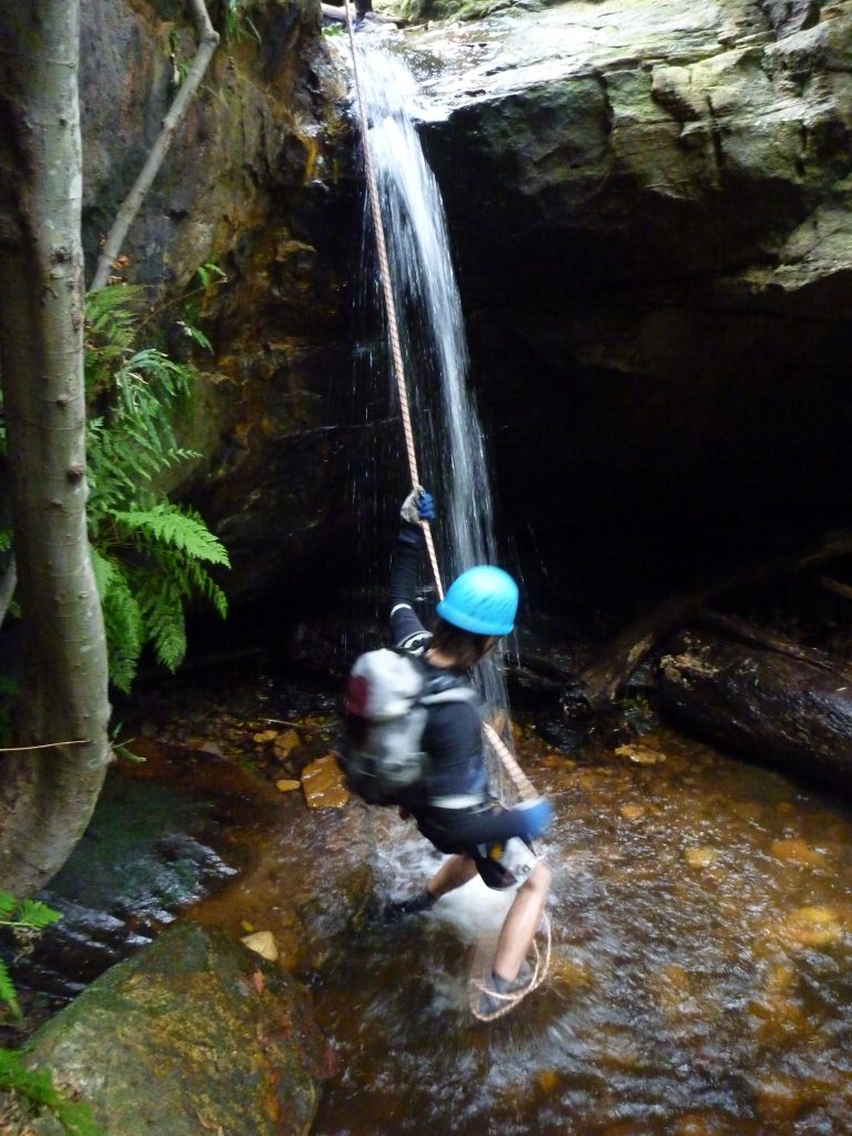
Mt Hay Canyon might only be short, and it can’t compare in beauty terms with a lot of others, but for excitement tinged with terror they don’t come much better than the crux of this baby.
We’d kept the group small for this one, knowing it would be much tougher than the next day’s trip through Dione Dell, and had quickly raced down the gully and into the creek from the cars.
At the first drop we spotted a group of three setting up a ridiculously complex abseil, so we chose another anchor and had the six of us down and had moved on before they’d reached the bottom.

A few smaller abseils and scrambles followed, as well as a swim (and impressive slip into the water from Drew), before we were led into the bowels of the beast, with the canyon walls suddenly plunging downward just after some huge boulders.
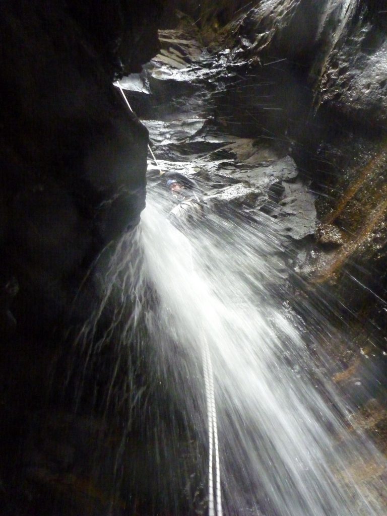
From the start of this big drop you can’t see the bottom, so there’s no knowing for sure what to expect. The landing really gets the heart pumping, with a misstep either taking you too far over the chock stone landing, or not far enough and into a hole where the waterfall rushes down behind.
This is one of those places where you’re happy to be carrying a safety sling, and we clipped on while rigging the next drop, which finishes with the iconic image of this canyon — a beautiful waterfall into a pool, with the creek turning a sharp 90 degrees.
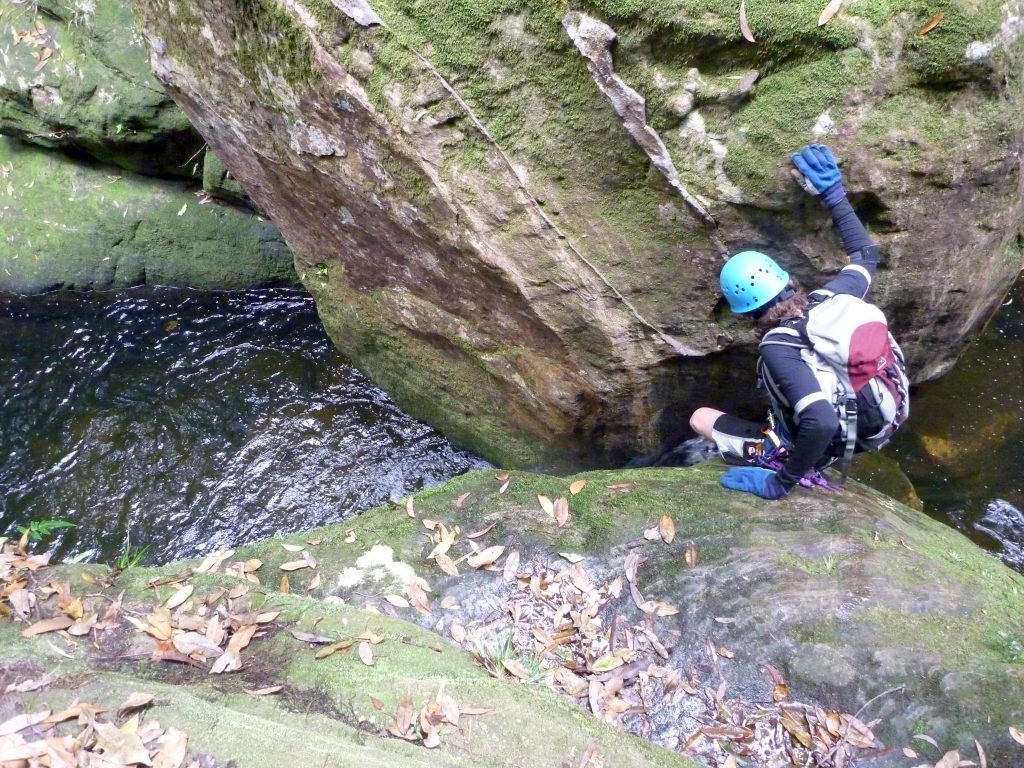
There were a couple more short swims — and some pretty enjoyable water jumps — but not long after the canyon opened out. While it may not be a tight constriction, it is still one of the most impressive gorges you will ever walk through, with the sandstone walls towering hundreds of metres above.
We headed out of the creek too soon, following an increasingly precarious shale ledge before realising our error and dropping back down to the creek (from the track we were probably on a rock climbers exit).
After some more scrambles and an easy abseil we were finally low enough, so we started off around the base of the cliffs to the famous exit climb which is almost as much of the appeal of this canyon as the slot itself.

The climb isn’t hard, in fact if it was close to the ground you’d fly up it, but with a cliff plunging away behind you it makes you second guess every move. The wind was still gusting, and we were having increasing bursts of light rain, so we also had to deal with the added issue of wet rock.
T1 bravely took the lead, getting up without much trouble and setting up a top belay. Most of us made it up without too much trouble (Rocky in particular blew us away with his speed up the rock), but the last two needed a bit more encouragement.
Tying a bunch of alpine butterfly knots in a spare rope, we created a ladder to help the last two up (I don’t want to name and shame them) and before long were back on our way to the tops.

It’s not until you get up here that the enormity of the gorge is apparent, with the canyon slicing through the massive cliffs. It is one of those places you just have to see to believe.
From here it was just a short walk to the cars before a beer, dinner and the long drive to Kanangra Walls for a beginner trip through Dione Dell that we were running the next day.

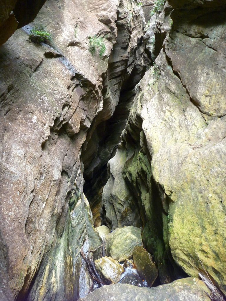

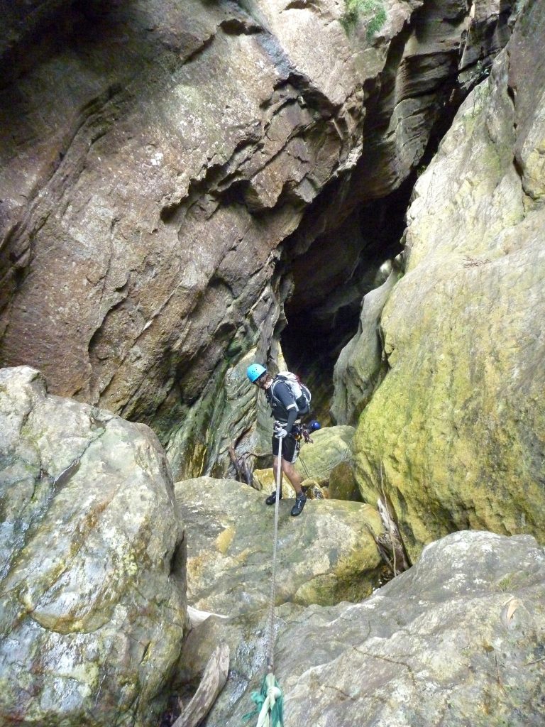



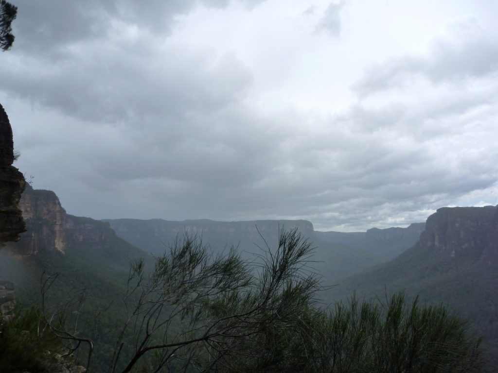


I remember almost being blown off that lookout. Perhaps normally construed as a form of harassment, this time I was thankful that T2 grabbed me (cheers mate!).
Also, must upload my video of the rock climb. Rocky did indeed scramble up quick, then said, “There you go. Now I need a cigarette!”
T1
Hey guys,
Were you able to find any GPS coordinates for the canyon? Everything seems pretty straight forward but I still like to have them loaded.
Andrew, there is a signposted track from the carpark to the start of the canyon. The exit turns off straight after the final abseil. Not really any need for a GPS. More valuable are decent track notes (https://ozultimate.com/canyoning/track_notes/mt_hay.htm).
GPS units are of less use to canyoners as they struggle in narrow valleys where they don’t have access to as many satellites in the sky. I often laugh when I see people share GPS traces of canyons as I can usually draw a more accurate route on a map from memory than what they produce. You still can’t beat decent map reading skills!