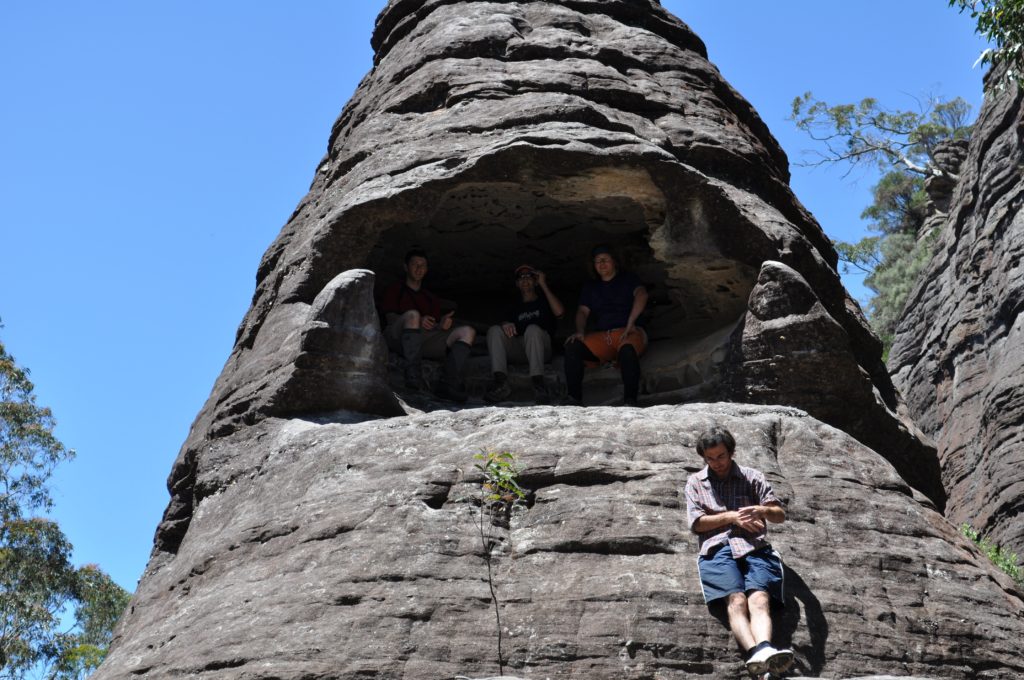
Party: Tim Vollmer, Tim Gastineau-Hills, Nigel Butler, Michael Rose, Hemant Nisar
After a wild week where the final numbers swung around between two and more than ten, five of us finally made the Friday night journey down to the Budawangs, about 40kms inland from Ulladulla. In true bushwalking style, carpooling with a group of people who had never met before worked out fine, although the meeting point of Ulladulla McDonald’s was reached by both cars about two hours later than planned. Despite the late hour, we made the final trek out the winding dirt forestry roads to our camp site near the Yadboro River with enough time to set up tents, light a fire, and enjoy a few drinks.
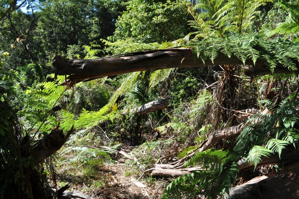
In the morning we had a relaxed start, with a very grey group of walkers who were camped near us setting off for a day walk to The Castle while we were still enjoying a hot breakfast. Setting off, we crossed the trickling river and began up the old forestry road. Everywhere among the understorey a mix of palms grew; a quirky change for someone more use to walking in the Blue Mountains.
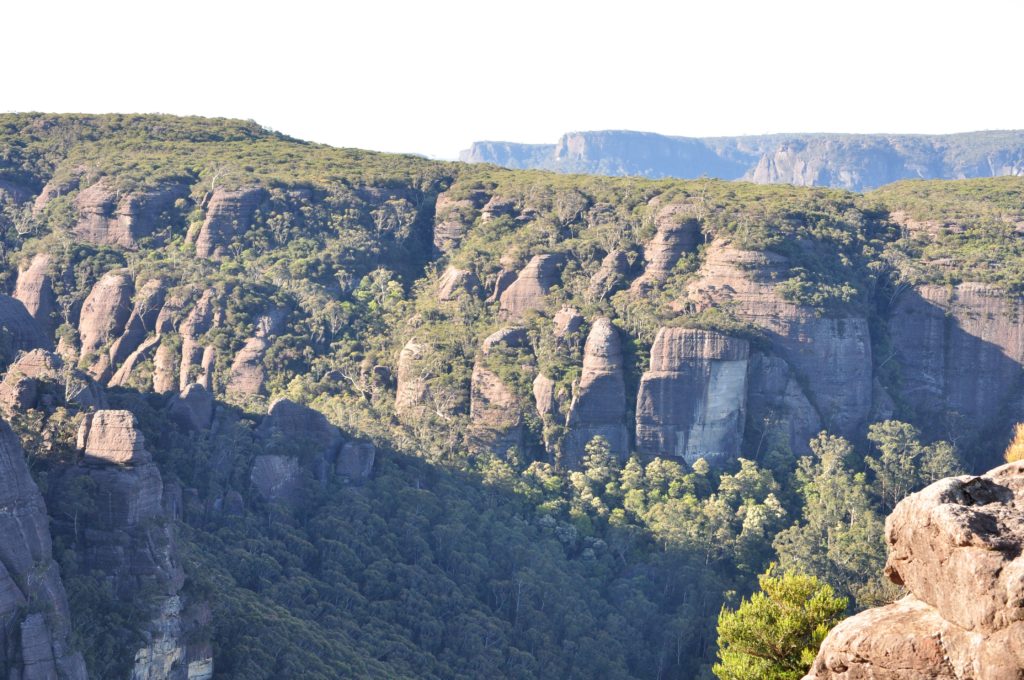
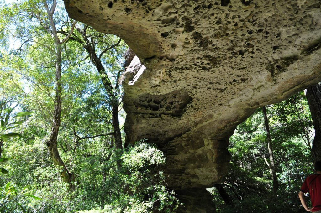
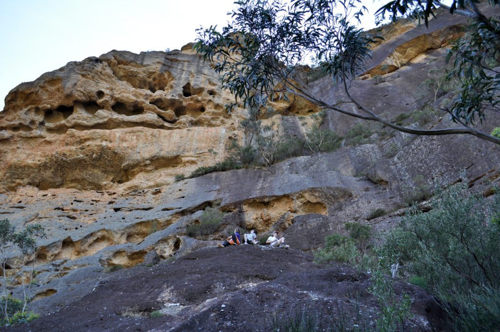
As we rose the ground became littered with large river pebbles, the eroded remnants of a thick band of conglomerate rock which made up the first cliff face. For what seemed like at least an hour we traced along its base, admiring the amazing eroded caves, including one big enough to clamber about inside. Eventually we began the slog uphill through what would once have been a thick scrub before thousands of walkers tramped the track. Towering above us was The Castle to one side, with the buttresses of Mt Nibelung and Mt Owen opposite. Behind us the views stretched over what seemed like a hundred kilometers of rolling forested hills.
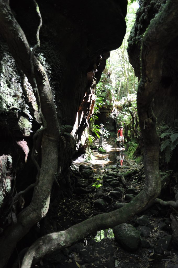
Despite deciding we would head to the camp site on Cooyoyo Creek before our final ascent, allowing us to drop packs, set up tents, claim the best site, check for water and avoid the worst of the searing heat, we still went via the narrow crevasse that cuts through the rocky ridge. There was a minor navigational error as we followed a false track made by countless others who had missed the sharp left turn into the fissure. With a short back-track we squeeze our way through, admiring the gap in the rocky crags.
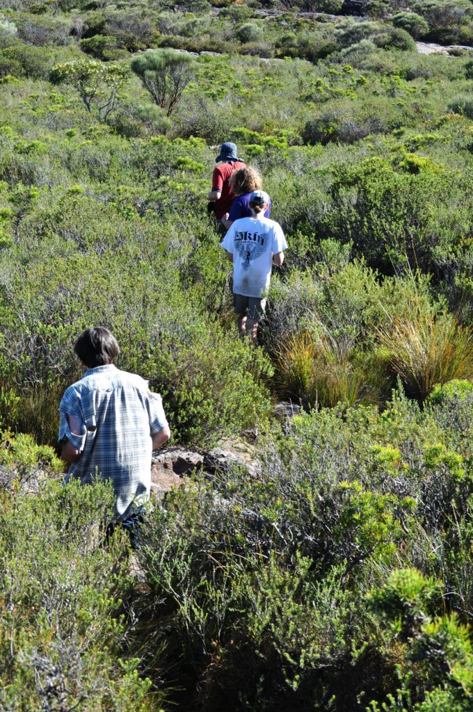
After a quick look around, we made our way to the saddle. Then came navigational error number two, where the pleasant open forest led me to convince Nigel and Michael that we could simply bash our way down the creek towards the camp site, rather than loop around on the track. Unfortunately the open understory soon closed in, with thicker and thicker scrub slowing us down substantially. Eventually it was so thick a constant string of cooees were needed to keep track of each other in bush so thick you couldn’t see more than a couple metres. I finally surrendered, bashing back up the ridge to the “official” track.

Once at the camp site we set up our gear and headed to the lookout for lunch, enjoying expansive views over the Clyde, along Byangee Walls, over Pidgeonhouse and as far as the ocean. Hemant decided on a quick siesta, while Alfred and I made for the creek to check on the water supply. Despite the drought and hot conditions, a small trickle of good water could still be found, which was very welcome. We drank our fill before settling in for a snooze of our own in the huge camp cave.
By about 4pm it had started to cool down, so we made our way back up towards The Castle. We stopped for a quick play in a fissure in the rock that had created a deep cave, scrambling down several metres to get to its floor then crawling as deep into it as we could go without torches, even using the camera flash to light our way. It clearly continued further, but given the pitch dark we decided to leave it for another time.

The climb up The Castle was incredible fun, with scramble after scramble providing constantly better views. The broken rock ridge behind us, heading towards Monolith Valley, was particularly beautiful, as were the glimpses over Byangee Walls. Eventually we made it to the top and followed the flat rocky sections to the southern tip. All over they are eroded into pools of varying depth. Unfortunately the dry weather had left them parched, none more than a few inches deep. Despite this, some of us cooled our feet in the water, while others lay down on the soft, cool mossy mattress.
Clinging to the dry exposed rocks were the hardiest of plants. The weathered rock, interesting on its own, framing the expansive views in all directions. Looking down, we could trace our days journey from the river. We took a few photos, examined the thick scrub that seems to survive surprisingly well up here, and started the trek back.

We flew down the mountain, almost at a canter, slowing only where ropes, roots or rocks were needed for tricky scrambles. Back at camp we scrounged a small amount of firewood, and despite the scarcity of good timber we were rewarded with a pleasant small fire around which we enjoyed a well earned dinner and a healthy quantity of wine, port and whiskey.
Sunday had a slower start than planned, but eventually we made our way to the saddle, dropped our packs, and with a small amount of food and water in a shared daypack headed into Monolith Valley.
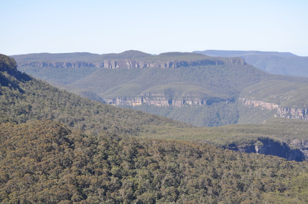
On our way up the pass we discovered a small cave opening, eventually following the caved-in canyon section for more than 100m before emerging back into daylight. Once through Nibelung Pass the valley opened up before us, with towering cliffs on all sides and some spectacular slabs of rock that had eroded away on their own. In the rock faces vertical lines showed where the rain raced down in tiny rivulets. Underfoot, the soil was boggy, supporting a thick, dense shrub. As we walked we came across cute little creeks, valleys within valleys, lush rainforest sections and rocky outcrops.
Making our way north, we stopped to climb up into the magnificent Natural Arch. Here, a slab of cliff face no more than four metres wide has broken away, and through it a spectacular arch has been eroded by the swirling winds. After a quick morning tea and some photos we pressed on towards the Seven Gods Pinnacles. Everywhere we went we found distractions. From the little canyon sections, one only a foot or two wide, to the tunnels that could be explored, to the steady stream of spectacular vantage points. The camera got a workout, we used up valuable time, but still we could have spent longer there.
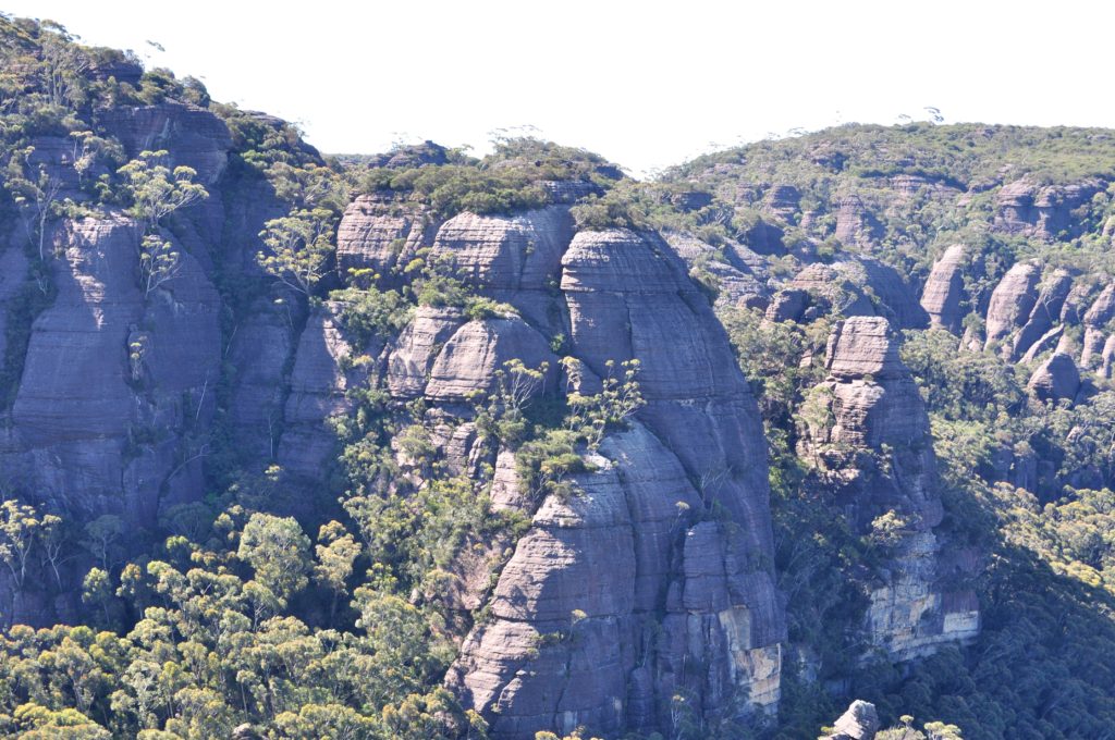
Eventually we continued around Mt Cole, following the base of the cliffs, through attractive open forest strewn with boulders and framed by towering sandstone. We found several good camp caves for future reference, with them improving in quality the further we went. We stopped briefly for lunch at a small waterfall, restocking our water bottles and drinking our fill given the hot, dry weather that had characterised the weekend. Eventually we packed up and moved on, heading up the pass onto Mt Owen. We were torn about whether to enjoy the reportedly beautiful creek, but decided after a fair bit of creek walking already it was time to get up onto the rocky tops and admire the expansive views. The area is spectacular, with rocky slabs surrounded by patches of stunted shrubs, and views in all directions. The only downside was the ridiculous number of carnes placed to mark the way, forcing me to give up my usual practice of repatriating the rocks to their natural state because I was getting a sore foot. In fact, at one point there were three in a distance of four meters, and there were rarely less than two or three visible at any point in time. There were some unplesant statements made about the idiots who had placed them, and more worryingly the people whose ability to navigate is so poor that they need a breadcrumb trail to move through open country.

We made our way down the beautiful little pass down, which travels perfectly straight down a fissure in the rock, to a very pretty and almost canyon-like creek. Opposite the pass, the fault line had caused a sheer slot, about 30 metres high, that was no more than a metre wide and could be chimneyed easily. After traveling to the end, and having a little play around, we moved on.
Following the creek, we managed to follow it too far around a bend, missing our turn-off back towards Monolith Valley. We scrambled up the rocks to get above the trees for a better vantage point and quickly realised we had travelled almost 200 metres too far. We backtracked, made our way up the small gully, then over to a very pretty section of creek close to our original track.

Time was against us, so we pushed back to our packs with more urgency, then started the slog back to the cars. As we walked thick clouds started to roll over, ominously threatening rain. Combined with the long day, the walk was fairly quiet, with all of us instead focusing on pushing on to the cars before it get dark or the heavens opened.
Getting back to the Yadboro River we decided there was time for a swim, with a soothing soak in the chilled water the perfect salve for tired muscles and sore feet. Eventually we dragged ourselves the final few hundred metres to the cars, packed up and made for home, with the first drops of rain coming shortly after.

The long drive home seemed to take forever, with the exhaustion taking its toll on safety. In our car there were regular driver changes, roughly every half hour, as we struggled to keep ourselves alert on the wet roads home.
Eventually all made it home in one piece, complete with some pretty fond memories of a spectacular and unique part of Australia.
