Party: Leo Garnac and Adrian Spragg
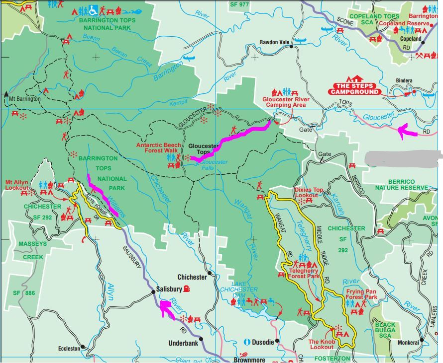
Leo was continuing his plan to do all the canyons in NSW (Australia?), and arranged to meet at Gloucester Tops Camp Ground, arriving from Christmas in Oxley Wild River National Park. He kindly agreed to delay his SUBW trip departure until 10.00 am on Boxing Day 26.12.16 to allow Adrian to do the 4 hour drive north from Sydney. Features of the last few kilometers include some 6 concrete fords over the Gloucester River and the distinctive bright red Illawarra Flame Trees.
Sue and Ludek drove us up Gloucester Tops Lookout. Ludek had to opt out of the trip when he fell off his slackline the previous evening, spraining his ankle. On the drive up, Adrian was excited to see his first quoll (Australian native “cat”) in the wild.

Leo and Adrian left the lookouts at 11.00 and arrived at the daunting Gloucester River Chute an hour later after donning full wetsuits. Maybe in the future the Chute will become a recognised abseil in low water with bolted belays, but we agreed we were not going down it with our scant knowledge.

Richard Pattison in his very good video https://www.youtube.com/watch?v=-2ilgHan2ws with map and commentary describes the 5 abseils, albeit with greater water volume than we experienced, before climbing out on an exit ridge back to the lookouts. Abseil 1 is “a scrubby route away from chute, into pool” on the true left, before descent to the river. However, once we had descended to the Chute, the only obvious exit was on the true right (ie. looking downstream), so we climbed out, bush bashed around the hill and completed 2 abseils off trees and a scramble to find out way back to the river.

We clambered ~400m downstream over polished rocks and mossy boulders to RP’s Abseils 2 & 3 in short succession down a waterfall and separated by a rock platform in the centre of the river.

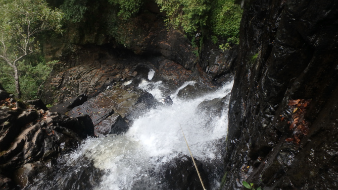
We had lunch about 14.00, and shortly after Adrian had a fall onto his chest which necessitated Leo to carry both 60m ropes (2x 40m ropes would probably have sufficed) for the rest of the trip. After all, the SUBW motto is “Press on Regardless”. [Memo to self: when dropping off a rock, take off the pack, or at least undo the waist strap. Otherwise the pack catches and catapults one forward over the edge].
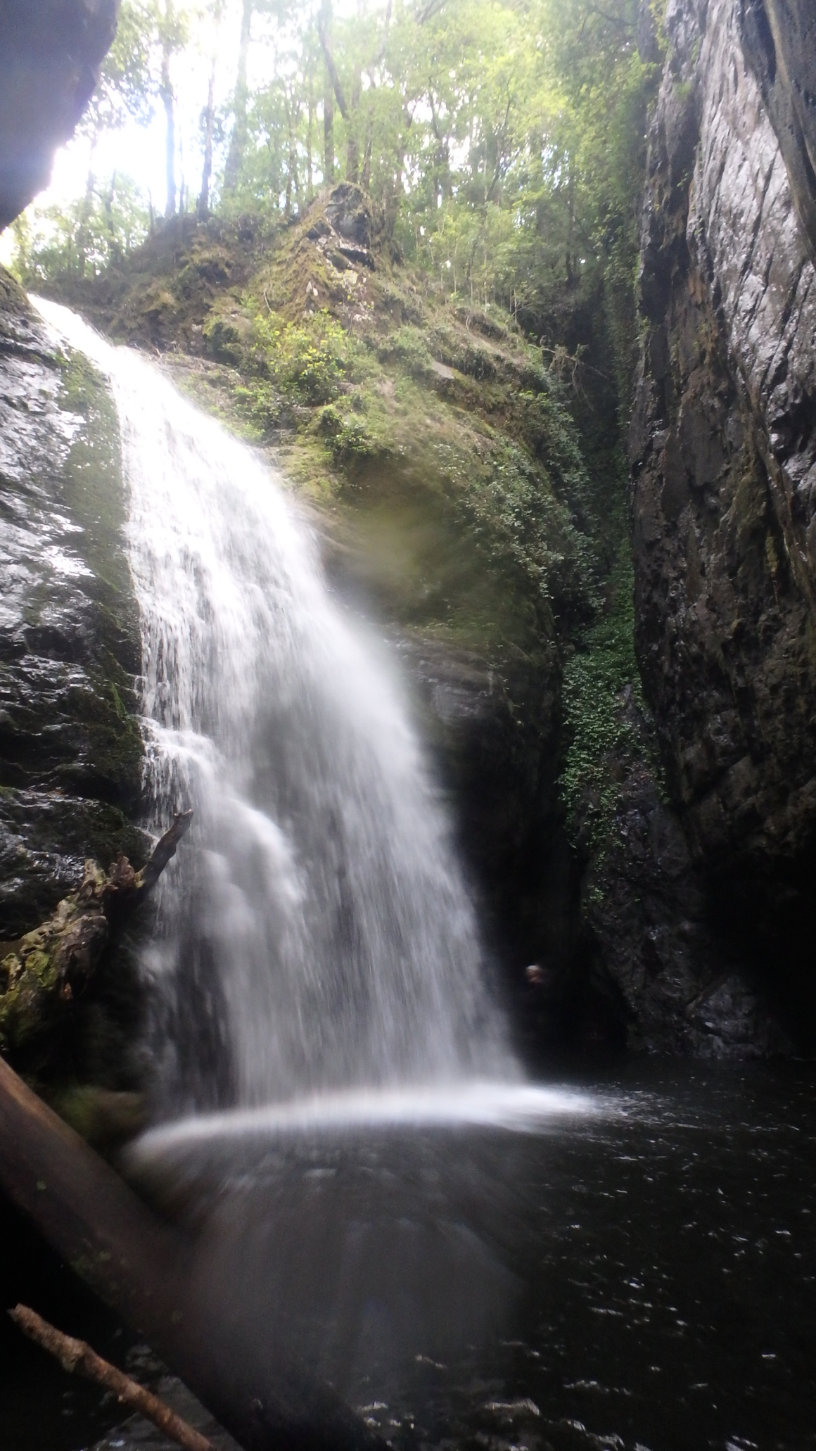
Abseil 4 started off a boulder down a waterfall but was completed on the true left at 15.00. There were various swims and jumps, and Abseil 5 off a tree on the left beside a waterfall into a pool was completed at 16.20. We presume one can exit back to the lookouts after this point.
Twenty minutes later was the fastest and wildest water slide we experienced in a week of canyoning. Heart stopping but exhilarating, and (phew!) no rock at the bottom – that was all turbulence.
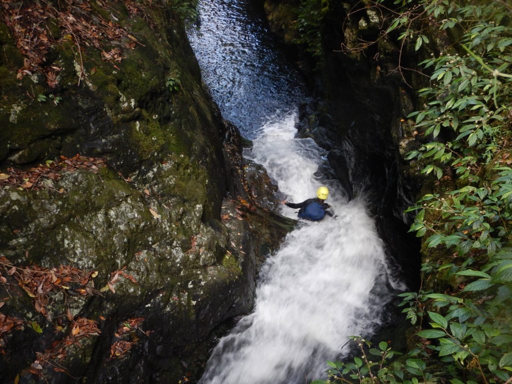
Adrian finally mustered the courage to follow Leo (movie Leo) https://youtu.be/P6kcZLKy7Ps)
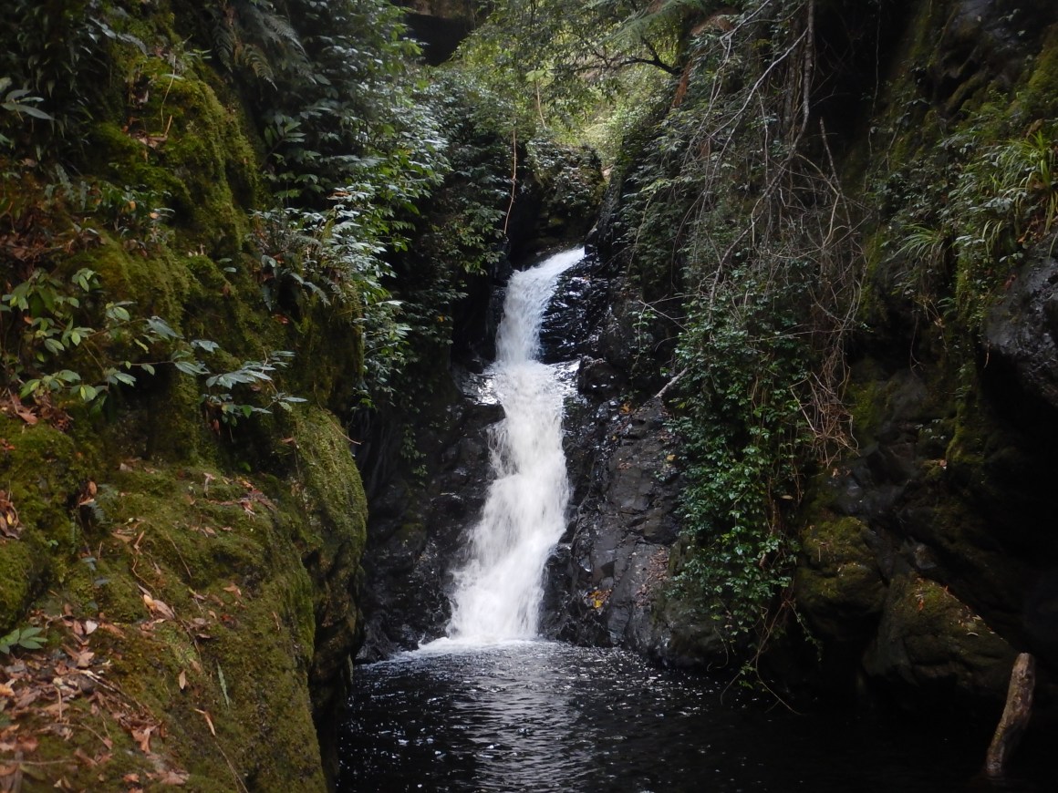
We completed a 6th sloping abseil of ~40m at 17.30 before reaching the creek at bottom of the exit ridge (MGA 692487).


We threaded our way downstream a further 1 kilometre, and at 18.40 found a soft space on the rainforest floor to spread out our beds. It was a comparatively warm night, and we did not rig our tent flies. We fetched dry smashed timber from the open river beside us for our small fire, avoiding having to resort to rotting coachwood from the rainforest floor. We could identify stinging trees rising high above us, having been always careful not to encounter the painful leaves while walking.
The serenity we experienced was reinforced by fireflies weaving backwards and forwards in the rainforest gloom in one of the most bewitching scenes I have ever seen. No photo would capture the experience, nor did we try, but now I understand the origins of fairies.

We started at 6.30 the next morning, boulder hopping and walking down sheet rock until the gorge opened out and we found it worthwhile to gravitate to the forest floor, often on the left of the river. There were staghorns growing high above us, vines to trip us up, veils of moss, interesting fungus.


So it was that we unexpectedly came across an old NPWS hut at MGA 722507 (spot height 454 on the Gloucester Tops 1:25000 map) at 9.30. An old firetrail appeared to come down the hill on the true left of the side creek and continued on the true left downstream high above the Gloucester River.

The road was quite substantial and well built, and reminded me of the WW2 Japanese POW railway on the Burmese side of the Thai border. Initially progress was faster, but log and vine entanglements became more prolific. Finally, we appeared to lose the road (perhaps it headed up the hill?), so cut out and completed the last 1.5km rockhopping in the river bed. We reached the ford and camp ground at 12.00 just as Sue drove in, having spent a cold night up at the lookouts.

A deluge came as we had lunch at the camp ground. Perfect timing! We talked to 2 rangers, who had not been to the old hut, but knew of it, and were surprised it was still standing.
The Gloucester River is a beautiful trip, with all abseils coming on the first day. We were happy with our decision to make our way all the way down to the camp ground, and the fireflies at night in the rainforest was a special experience unlikely to be repeated.
We drove out of the valley, had coffees and ice cream in Dungog, and made our way up through Salisbury to camp somewhere in the area.
On 28.12.16 Leo and Adrian left Lagoon Pinch Picnic Area (locked gate MGA553463) at 6.15 on the track up towards Careys Peak. We had decided not to abseil Williams Falls, but take the shortcut track to the base of the falls and come down the Williams River, avoiding the need for ropes. In our exuberance, we walked almost all the way to Corker Mountain, before backtracking to the X we had seen cut into a eucalyptus tree at Scouts Alley at MGA 561484. Looking over the edge we could see pink tape markings for the start of the Shortcut track.

The contoured start of the marked trail was not propitious, to which we would say – “hang in there”. It soon reached the clear rainforest floor, and was well marked and quite delightful as it wended its way towards Williams Falls.

The final 200m descent on scree is awkward, and we reached the falls at 9.00. The river was definitely colder than the Gloucester River, and definitely full wetsuits were the go as we clambered, slid and jumped our way down the Williams River.

Richard Pattison, in his video https://www.youtube.com/watch?v=LCfCdfq0Gfw lists 9 obstacles on the river, and we found these were fairly readily identifiable.
1) 3m – go right & jump or slide
2) 3m – jump out or slide
3) 3m – slide (Caution log)
4) Washing machine – slide & walk through
5) 3m – slide, caution stopper
6) 5m – jump, or climb left
Canyon section
7) Landslide, log jam and pool – 20m swim
The sides open out and progress is much quicker, you can start walking on the banks.
8) 8m – “The Big Jump” from left, or slide right
9) 5m – Jump right 150m to Rocky Crossing
10) at Rocky Crossing


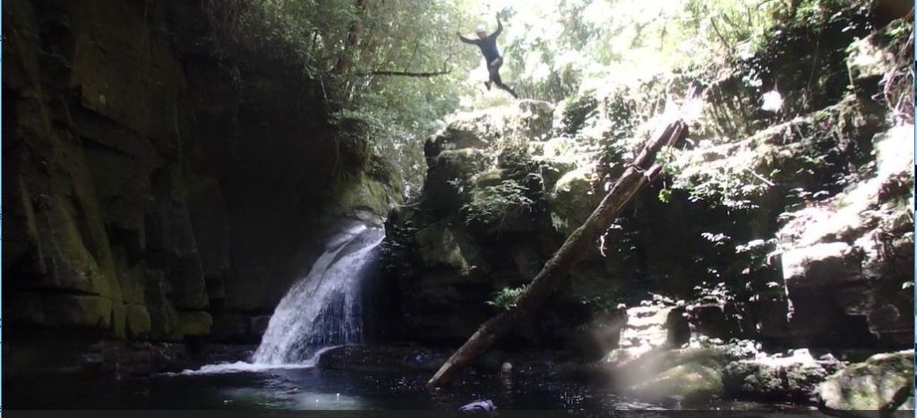


From Rocky Crossing it was only a short walk back to the cars at Lagoon Pinch at 15.00. 8 ¾ hours, including ¾ hour side trip up the Corker, makes it about an 8 hour round trip of the stunningly beautiful Williams River with no undue technical difficulties. This is a must do for anybody in the area with full wetsuit, helmet and reasonable shoes.
What a fantastic 3 days it has been, and we appeared to have had these iconic canyons to ourselves.
Postscript: We continued on for a further 4 days of canyoning at Bungonia and Macquarie Pass. Adrian’s discomfort/ pain from the Gloucester River fall increased and a doctor later explained: Bruised Chest Cartilage. No real pain immediately, then as bleeding continues, blood builds up with nowhere to escape, and so the pain builds up. He estimated it would settle down in 2 weeks. Nothing I did made it worse (he has my vote!), and nothing one can do to facilitate the recovery, other than giving time. In fact, it took a further 2 months to disappear.

Thanks so much for the picture of the shortcut trail to the Williams Falls.
I hiked there three weeks ago looking for it & couldn’t find it with my scant info on it.
We hiked up the river instead for a total round trip of 10 hours.