Party: Tom Murtagh, Emma Spencer, Helen Smith, Iza Spaleniak, Jiri Svec and Tim Vollmer
Been wanting to get to the Gangerang Plateau for ages. All indications were that the area around the base of Cloudmaker is a wonderful mess of open scrub between assorted hillocks, and (more to the point) several decent-sized caves which would have come in handy on a few trips when the weather rolled in during the thrash up Strongleg.
Almost made it once on a trip with Pete, but we ran out of time at the base of Kooriekirra and beat a shameful retreat down Marcotts Pass and up some Woeful Dog.
Gripped by one of those fleeting whimsies that inhabit lazy Sunday afternoons, I determined to complete that walk as planned, with or without company, and chucked some unappetising and terrorful description on the walks programme just in case there were some masochists in search of a good hard weekend.

Startlingly, nearly a dozen folks signed up, but after some clarifications regarding the distances, terrain and foliage we ended with six starters. (Potential trip leaders take note: there’s clearly a lot of demand for more involved walks. Watch this space.)
Mindful of the long slog, most of the group left Katoomba Station on Friday evening to knock over the roadbash. It was a perfect evening for it; a slight breeze, cool but not chilly, we looked to the clear skies out west and wondered where the forecast storm was supposed to be coming from.
The moon was bright enough that the head torches stayed off for most of the night and — not to wax poetic much or anything — as we tripped down Random Dog, the bare trunks of the big gums in the gully were glowing with the occasional beams of moonlight that snuck through the foliage, and it was pretty bloody special.
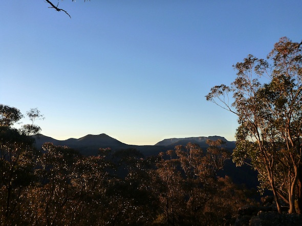
We hit the Coxs just on midnight, and crossing that was pretty special too. The eerie light cast dark shadows on sharp rocks. The fuh-fuh-freezing water burned our tired feet. One walker became immersed and continued up the other side in minimal attire.
We grabbed a nominal spur-side campsite a bit before 2am and huddled in our sleeping bags as a quick wet squall blasted through shortly afterwards.
Broke camp early, and a few minutes up the hill we met Tim and Emma, who had taken a Friday morning start and a more leisurely pace.

We spent the next couple of hours carefully steering through the Wongas, beautiful clear ridges but riddled with navigational traps for the unwary, or even those whose concentration wanders for a moment. Cough.
We forged up Gentles Pass (new dots!) then over Kooriekirra, Ti Too, Noora Morang and Irraeorana Top for full peak-bagging credits.
Consulting a vegetation map thoughtfully provided by Wookie, we decided to chance a minor north-flowing watercourse and check for caves in upper Moko Creek.
We dropped into a slight gully and, right on cue, the weather hit. Just a light sprinkle at first — the kind of thing that makes you wonder if someone has squirt-sweated onto you — and then suddenly the oddest little hail-shower, lasting not even a minute, leaving only a few scattered tiny hailstones and a craving for gin and tonics. Then, clear skies. Sunshine. Fine weather for the rest of the walk! No problems with the gully either; all the north-flowing watercourses around this area seem generally open and negotiable.
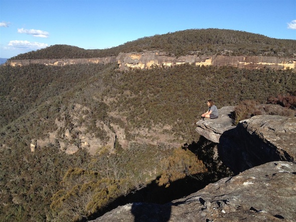
We took lunch just above Moko Creek with views up to the clifflines we’d dropped through.
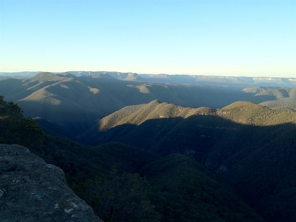
From below, the Moorilla Lookout (nee Moorilla Deck) loomed and imposed in a manner that was all the more confusing for the map’s insistence that it was only about fifty metres to the top. Aftlengthening and other mysterious optical effects aside, it was an easy handline pass up the obvious weakness; we popped out onto the Deck and were treated to a nice flat campsite with, hands down, one of the most spectacular views in the Southern Blue Mountains.
The country drops away beneath you to the Moko gorge, a clear view up the Coxs and down to the Kowmung junction and beyond to the stored water, the Krungle Bungles towering to the west, Cloudmaker and the high Gangerangs lurking to the south. In the far distance we could just make out the Sydney CBD.

At dusk the buildings flared up with the setting sun, then promptly vanished — atmospheric lensing? — and reappeared when the fluorescents went on.
Later still we cooed and stretched our eyebrows as an electrical storm played over the ocean, a hundred kilometres away. As I say, it is a pretty decent lookout. Not an amazingly sheltered campsite, it must be noted, with the ridiculous gusty winds almost claiming some pretty expensive gear.
We enjoyed a sedate dinner and light fireside banter before an early blustery night.
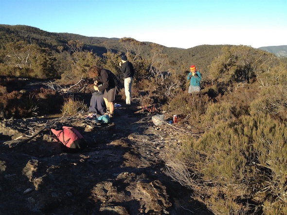
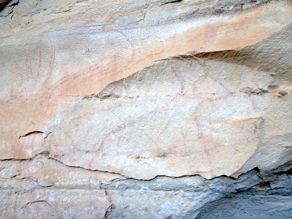
Everyone was up for sunrise (good work, everyone!). We popped over and around Mt Moorilla to inspect some artwork and sharpening grooves T2 had discovered the previous afternoon. These were a little the worse for wear, copping a lot of UV and wind damage I’d guess, but … wow. A great capstone to a fantastic trip to a superb area.
There was of course the small matter of the twenty tedious miles down Nurla Morella and back up to Katoomba, but suffice it to say everybody returned safely with a small amount of spare daylight.
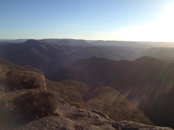
The previous attempt at this route had seen us run out of puff halfway back along Narrowneck, holed up in the cave, taking turns with the one rock smooth enough to be used as a pillow. From this I reasonably conclude that the Gangerang trip works better as a long three-day rather than a one-day walk.
This was a magnificent bushwalk, with a great strong group, in an area well worth your attention.

